


Aug 2026Read full article
Cost of Building a House in Cyprus, 2026
What it costs to build a house in Cyprus in 2026 — the rate per m², a full worked budget from plot to keys, and where the number really moves.
A geotechnical survey establishes what is under your plot: the soil profile, its strength, where the rock sits, where the water sits, and how the ground will behave when it is loaded and when it is shaken. In Cyprus that last part is not optional detail. Seismic design under Eurocode 8 classifies ground into types, and the type your plot falls into changes the forces the building has to be designed for.
Which means the survey is a design input rather than a piece of paperwork. Skip it and a structural engineer is left making conservative assumptions, which usually costs money in extra material, or optimistic ones, which costs considerably more later. This guide covers what the survey involves, what each finding actually changes, and when in the project it earns the most.
Cyprus sits in a seismically active region and structures here are designed to Eurocode 8, with a Cyprus National Annex, published through the Cyprus Organisation for Standardisation, setting the national parameters. The relevant point for a homeowner is simple enough: the seismic action a building must resist depends partly on the ground it stands on.
Eurocode 8 sorts ground into five profiles, types A to E, with the average shear wave velocity of the upper layers as the leading parameter. Rock and very dense material sit at one end, soft or loose deposits at the other. Softer ground amplifies ground motion, so two identical houses on two different ground types are not designed to the same forces.
That classification has to come from somewhere. Where there is no investigation, the engineer assumes, and a responsible assumption is a cautious one. Caution in structural design is expressed in concrete and steel, both of which you pay for.
Geotechnical design itself falls under Eurocode 7, and where preliminary information is insufficient, further investigation during design is expected rather than optional.
The scope scales with the project and the plot. On a private house it is usually modest.
The output is a report with a ground profile, design parameters for the foundations, a ground classification, and recommendations. A report nobody has translated into design parameters is an expense rather than an input.
This is the part worth reading closely, because it explains why the same house costs different amounts on two plots two hundred metres apart. Your structural engineer, registered with ETEK like every professional signing technical work in Cyprus, designs from this report — who does what between the disciplines is covered in our guide to architect vs civil engineer.
| What the ground shows | What it changes in the design | What it changes in the budget |
|---|---|---|
| Rock near the surface | Excavation method; foundations can often be shallower | Excavation costs rise, foundation costs usually fall |
| Soft or loose deposits | Ground type moves toward D or E, seismic forces rise; foundations may need to be deeper or wider | Structural quantities rise across the whole frame |
| High or seasonal water table | Waterproofing strategy, drainage, basement viability | Tanking and drainage, or a basement deleted from the brief |
| Fill or made ground | Foundations must reach competent material below it | Deeper foundations, sometimes piles |
| Expansive or shrinking soils | Foundation depth and articulation to tolerate movement | Foundation cost, and a real risk of cracking if ignored |
| Sloping ground with weak layers | Slope stability analysis, retaining structures, stepped foundations | Frequently the single largest site cost on the project |
Read across, not down: each condition changes the drawing and the budget at the same time, and the second column is what the first one costs. Only the first row has an entry that moves money in both directions.
Read down the right-hand column and the argument for investigating early makes itself. Every one of those consequences is cheaper to design for than to discover.
Some plots make the survey close to indispensable.
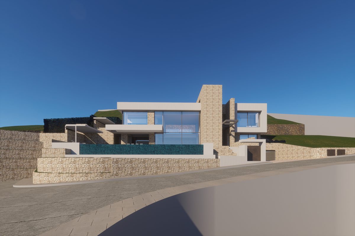
Sloped plots. The hillsides that produce the best views also produce the most complicated ground. Slope stability, retaining structures and stepped foundations all depend on knowing what the slope is made of, and this is the site condition that most often reshapes a Cyprus budget.
Coastal plots. Groundwater, aggressive ground conditions and variable deposits are all more likely near the shore, and they affect both foundation design and durability.
Plots with fill. Ground that has been levelled, terraced or filled at some point in the past looks entirely normal from the surface. It is not a foundation.
Rural plots. Away from established development there is less local knowledge to draw on and no neighbouring foundations to reason from. The Paphos district produces more of these than anywhere, which is part of why the Paphos cost guide treats site works as the deciding variable.
Anything with a basement or a pool. Both involve excavation below the general founding level, and both are far more sensitive to groundwater.
A survey is only as useful as its scope, and this is where money is genuinely wasted. An under-scoped investigation produces a report that looks reassuring and tells the engineer very little.
Three things determine whether the report will be usable. How many investigation points, because one borehole describes one spot rather than a plot, and ground can change materially across a few metres. How deep they go, because the investigation has to reach below the depth the foundations will influence, not merely below the topsoil. Whether the scope was set by the engineer who will design the foundations, which is the difference between an investigation aimed at your building and a generic one.
Have the brief written by your design team rather than accepting a standard package, and have the report interpreted by the engineer who carries the structural design.
Two moments matter, and they serve different purposes.
Before you buy, where the plot looks difficult. A survey at this stage is a negotiating instrument as much as a technical one. Discovering that a plot needs piled foundations before you commit gives you the choice of walking away or renegotiating, as our guide to buying land in Cyprus sets out.
Before foundation design, always. The structural engineer needs real parameters. A design produced without them is either over-engineered or optimistic, and only one of those is discovered on site.
The cost sits in the same part of the budget as the topographic survey, and both belong early. Our guide to the cost of building a house in Cyprus shows where they fall in a whole project.
The failure is rarely dramatic. Far more often it is quiet and expensive.
Foundations designed on assumption get revised once the excavator reveals the truth, and a revision at that point stops the site while everyone waits for a redesign. Differential settlement produces cracking that appears a year or two after handover and is difficult and costly to remedy. A basement is designed, priced and then abandoned when water arrives. And on a slope, a retaining structure that was never in the budget becomes the largest single line item on the project.
None of these are exotic outcomes. They are the ordinary consequences of designing without information, and they are the reason an independent technical assessment before commitment is money well spent.
A geotechnical survey is one of the smallest line items in a build budget and one of the few that reliably prevents a much larger one. It converts the biggest unknown on the project into a set of numbers an engineer can design to, and in a seismic country those numbers change the structure itself.
If you are assessing a plot and want to know what the ground is likely to demand before you commit, that is part of what our technical assessment and building inspection work covers, and it feeds directly into design and engineering.
What it costs to build a house in Cyprus in 2026 — the rate per m², a full worked budget from plot to keys, and where the number really moves.
The two permits you need to build in Cyprus, who issues them since the 2024 reform, how the fast-track works and how long each stage really takes.
A neighbourhood-by-neighbourhood read of where Limassol's luxury villa pricing actually sits this year — and why the top of the market has moved faster than the middle, while entry-level premium has barely moved at all.